WEATHER ALERT
ENVIRONMENT CANADA
**********************
Special weather statement in effect for:
- Mount Forest - Arthur - Northern Wellington County
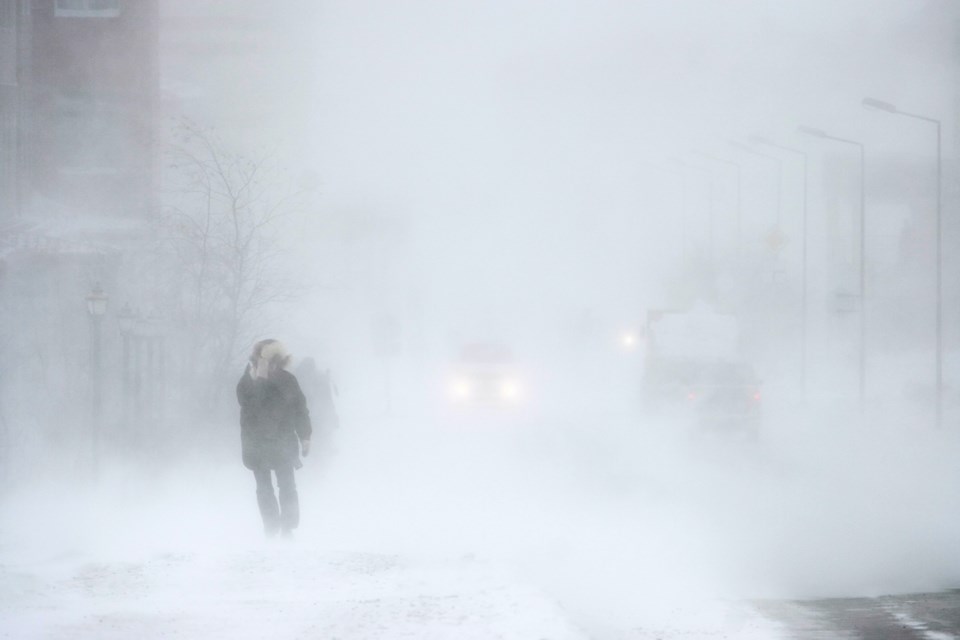
Multi-day snowfall event expected tonight into Wednesday.
Total snowfall amounts of 20 to 30 cm are possible.
Snow mixed with rain changing to snow later this evening. Snowfall amounts of 10 to 15 cm are possible by Tuesday morning.
Additional snowfall amounts of 10 to 15 cm are a possibility Tuesday through Wednesday morning,
Strong northerly winds gusting near 70 km/h are also possible tonight and Tuesday, particularly near Lake Huron or Georgian Bay.
Motorists should be prepared for winter driving conditions.
This snowfall is a result of a strengthening low pressure system expected to move through eastern Ontario into Quebec Tuesday into Wednesday.
Precipitation associated with this low pressure system is expected to move east of the area by Wednesday.
Please continue to monitor alerts and forecasts issued by Environment Canada. To report severe weather, send an email to [email protected] or tweet reports using #ONStorm.
***********************