WEATHER ALERT
ENVIRONMENT CANADA
*************************
Extreme Cold Warning in effect for:
- Guelph - Erin - Southern Wellington County
- Kitchener - Cambridge - Region of Waterloo
- Mount Forest - Arthur - Northern Wellington County
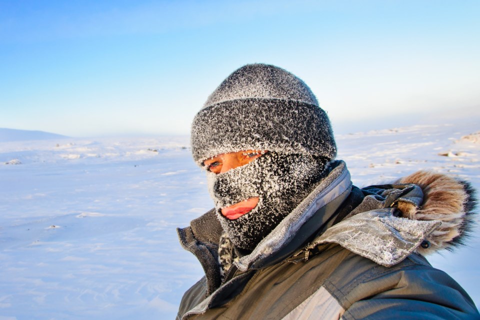
Blast of cold Arctic air reaches southern Ontario.
Hazard:
Wind chill values near minus 30.
Timing:
This morning and again tonight into Saturday morning.
Discussion:
Wind chills near minus 30 are expected this morning. After moderating during the day today, wind chills near minus 30 may return again tonight into Saturday morning for some areas.
Risks are greater for young children, older adults, people with chronic illnesses, people working or exercising outdoors, and those without proper shelter.
Dress warmly. Dress in layers that you can remove if you get too warm. The outer layer should be wind resistant.
Cover up. Frostbite can develop within minutes on exposed skin, especially with wind chill.
If it's too cold for you to stay outside, it's too cold for your pet to stay outside.
Please continue to monitor alerts and forecasts issued by Environment Canada. To report severe weather, send an email to [email protected] or tweet reports using #ONStorm.
*************************