GRAND RIVER CONSERVATION AUTHORITY
*************************
Flood Message #4 – Flood Watch continues for southern Grand River watershed
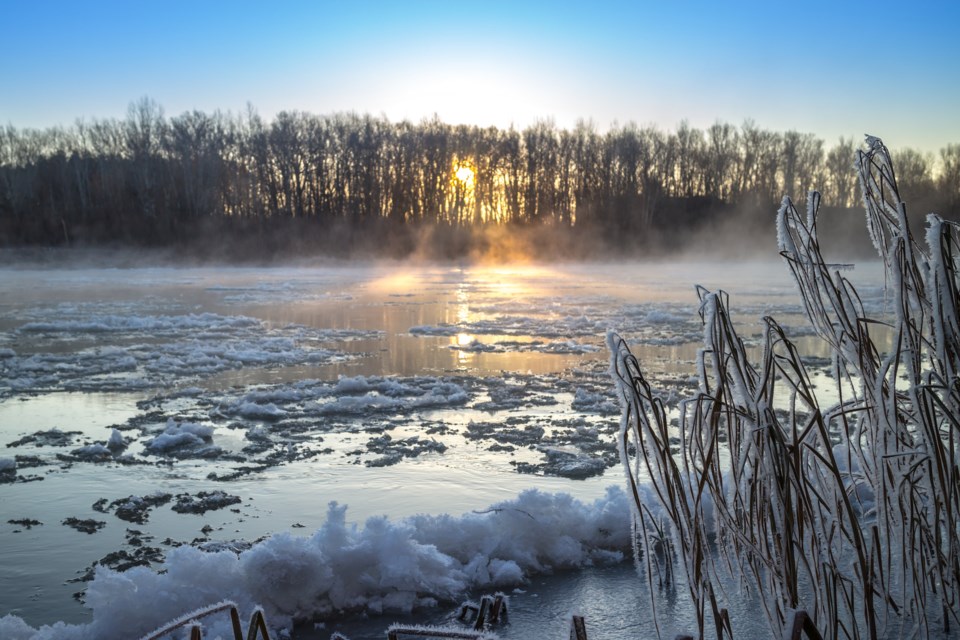
Cooler temperatures have reduced runoff from this event throughout the watershed. Discharges from the Belwood and Conestogo Reservoirs were increased Saturday morning to release water that was stored from the recent rain and snowmelt. This will result in higher river flows in the central and lower Grand River and the lower Conestogo River through the week. Cold air temperatures combined with elevated flows will result in frazil ice generation. Frazil ice is a slushy mix of ice and water in the river.
Flood Warning: Action
Township of North Dumfries – Ayr
The flood warning issued for Ayr remains in effect. It is expected that flood levels will peak in the Level 1 flood zone around 2 p.m. on Saturday.
Township of Woolwich – Low Level Bridge above St. Jacobs
Township of Woolwich staff are asked to maintain closure of the low level bridge upstream of St. Jacobs. That bridge was closed Thursday afternoon and will remain closed until mid-week when river flows recede.
Flood Watch
A flood watch remains in place for the Grand River from Brantford to Lake Erie and the Nith River below Ayr.
County of Brant and Six Nations
Brant County and Six Nations flood co-ordinators are asked to continue monitoring river levels and be prepared to close Boundary Road between Six Nations and Brant County, if needed.
City of Brantford
Brantford flood co-ordinators are asked to maintain closure of Gilkison Street and closely monitor for ice jam conditions through the dike reach of the Grand River.
Haldimand County
An ice jam has developed in Cayuga increasing the potential for flooding in the community. Haldimand County flood co-ordinators are asked to continue monitoring conditions in the area. River flows through Cayuga are expected to peak Saturday evening.
Township of Wilmot – New Hamburg
The Flood Warning issued for New Hamburg is downgraded to a Flood Watch. Flows are receding but will remain high through the weekend.
Ice Jams
This event created a large volume of broken ice in the river. This increases the potential for ice jams forming in the southern Grand River watershed. Ice jam formation can lead to a sudden increase in water levels upstream of the jam. They can form and release without warning, further increasing the danger around waterways with this event.
Stay Safe
The public is reminded to exercise extreme caution and stay off all water bodies. Ice cover, where it still exists, is unsafe.
Banks adjacent to rivers and creeks are very slippery at this time and, when combined with cold, fast-moving water, pose a serious hazard. Parents are encouraged to keep their children and pets away from all watercourses and off frozen water bodies.
This message will remain in effect until 4 p.m. on Monday, Jan. 15, 2018. Updated flood messages will be issued as conditions develop.
More information
- For more information on flows, weather and reservoir conditions see the River Data section of the GRCA website.
- Safety information for parents and children is available in the GRCA’s River Safety Rules booklet.
- More information on the flood warning system is available on the GRCA website.
- Receive GRCA flood messages by e-mail by subscribing through the GRCA website.
- Follow GRCA flood messages on Twitter at grca_flood_msg.
- More information about how the GRCA manages floods is available in the Flooding section of the website.