The ice began to accumulate on everything in Guelph at around 3:30 p.m. Tuesday. Environment Canada forecasts, and the weather agency’s freezing rain warning, came to pass.
Conditions quickly deteriorated, making travel unfit for boot or wheel. As the temperature dipped below freezing at around 4 p.m., an increasingly thick layer of ice accumulated on windshields, street signs, public sculptures, garbage bins, and branches.
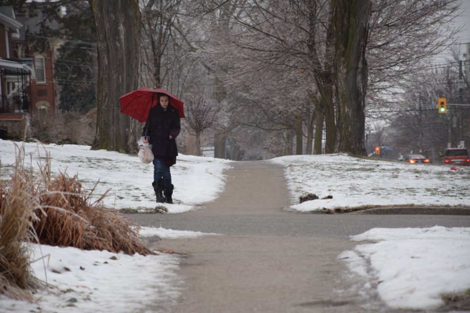
It appears that main arteries and downtown sidewalks had been salted and graveled just prior to the heavier rains falling. But side streets and large parking lots were iced up and slippery in the city center, and pedestrians took to walking in the snow along sidewalks instead of risking a slip on the concrete.
The rain is expected to continue unabated into the evening, tapering off by about 10 p.m.
The freezing rain alert is in effect for Guelph, Erin, and southern Wellington County, and north to Mount Forest, Arthur and the northern parts of Wellington County, according to Environment Canada.
Everyone should be on the lookout for adverse conditions and take necessary precautions.
If the ice continues to accumulate, heavy branches could come down. Exercise extreme caution.