Popular local hiking trails at Starkey Hill Conservation Area appears to be well used this summer, although on this particular early afternoon the birds, the very skittish chipmunks, and a large garter snake far outnumbered the humans.
Starkey is a little under four kilometers from the edge of Guelph, along Arkell Road. Owned and managed by the Grand River Conservation Authority, it is the highest point of land in Puslinch Township, and holds a number of wetlands and ponds that are significant to the Grand River watershed.
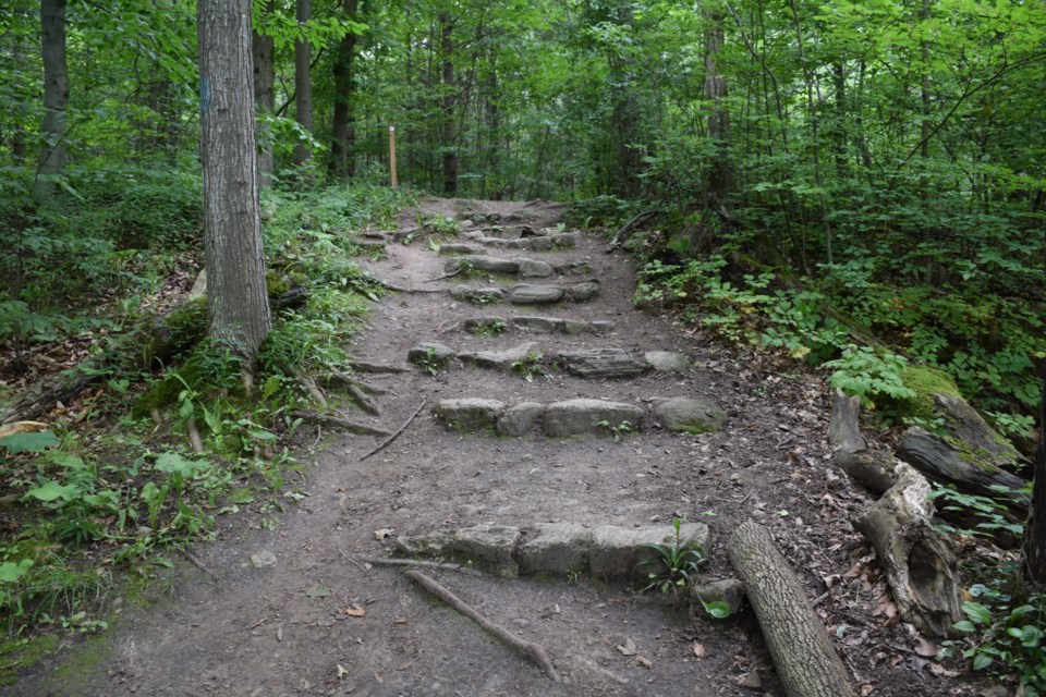
Entirely forested, the 37-hectare expanse of property has four-kilometres of hiking trails was developed and is maintained by the Guelph Hiking Trail Club. A Scots pine plantation in the north facing section, where the hiking trail entrance is located, soon transitions into a spectacular mixed forest. Some of the oldest standing beech trees can be found further up the trail.
The hill was named after a family that settled in the area in the early 1800s. The highest point of land, on the high point of land, once held a 30-metre high Geodetic Survey of Canada tower.
The forest ecosystem is home to wide diversity of plants and animals, and the destination for many urban dwellers seeking sanctuary from city life.