WEATHER ALERT
ENVIRONMENT CANADA
*************************
Winter storm warning changed from winter storm warning for:
- Kitchener - Cambridge - Region of Waterloo
- Guelph - Erin - Southern Wellington County
Hazardous winter conditions are expected.
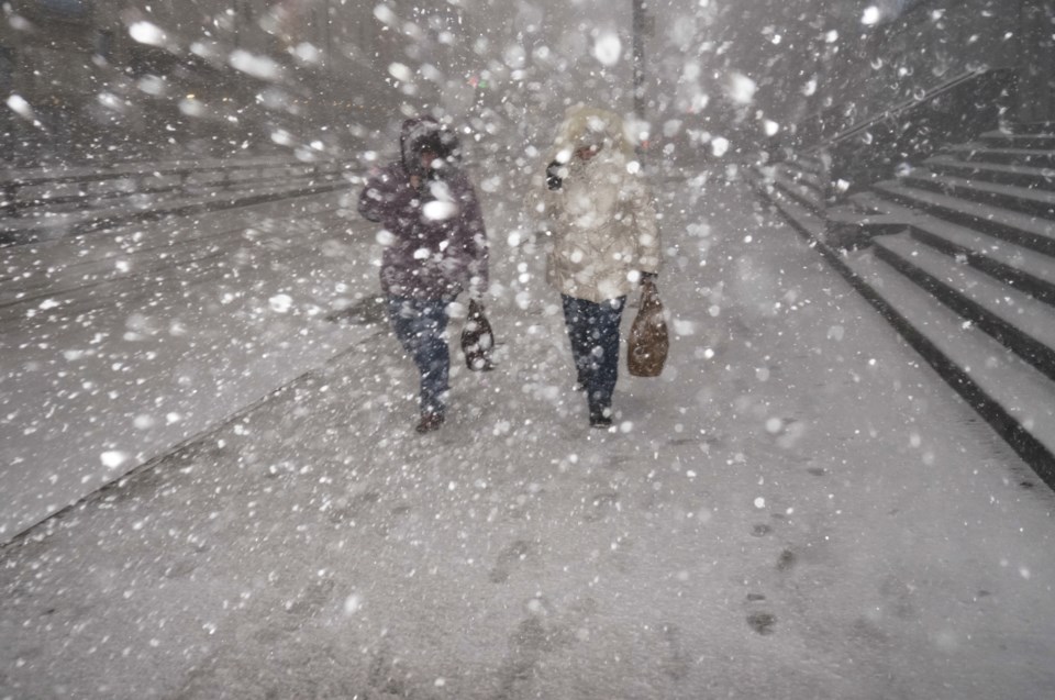
A winter storm with total snow and ice pellet amounts near 15 cm, freezing rain, and strong winds continues tonight.
A wintry mix of snow, ice pellets and freezing rain continues across the area late this afternoon. This mix of precipitation is expected to transition back to snow this evening. An additional 5 cm of snow is expected tonight.
Wind has eased somewhat across the region, however strong easterly winds gusting near 70 km/h continue closer to the Lake Ontario shore. Visibilities have improved late this afternoon however local blowing snow is likely tonight as the precipitation changes back to snow.
Total snowfall and ice pellet amounts near 15 cm are possible by the time snow tapers to flurries on Wednesday.
This weather is associated with a Colorado Low that will cross Southern Ontario tonight into Wednesday.
There may be a significant impact on rush hour traffic in urban areas.
Consider postponing non-essential travel until conditions improve. If visibility is reduced while driving, turn on your lights and maintain a safe following distance.
Please continue to monitor alerts and forecasts issued by Environment Canada. To report severe weather, send an email to [email protected] or tweet reports using #ONStorm.
*************************