NEWS RELEASE
GRAND RIVER CONSERVATION AUTHORITY
*************************
The Grand River Conservation Authority is issuing the following flood warning message update. Flood warnings continue for the central and southern Grand River. Flood watch remains in place for the northern Grand River watershed.
Update: Flood Warning
City of Cambridge
Flows on the Grand River through Cambridge peaked around noon Saturday in the 900 m3/s range. Typical summer flow at this location is 15 m3/s. Flows on Sunday morning remain above 400 m3/s and still present a significant safety risk to the public. Highway 24 and Blair Road have reopened as flows begin to recede.
County of Brant / City of Brantford / Brant Park Conservation Area
Flows on the Grand River through Brantford peaked on Saturday evening in the 1075 m3/s Gilkinson Street remains closed, however it is expected to reopen later Sunday afternoon as flows recede.
Brant County and Six Nations flood co-ordinators are asked to maintain closure of Boundary Road between Six Nations and Brant County.
Haldimand County / Byng Island Conservation Area / Trailer Parks in Southern Grand River Watershed
Flows in the Grand River are peaking through York on Sunday morning in the 1000 m3/s range. Flows will remain high through the week. The public should be cautious around riverbanks as significant debris has been washed downstream during this event.
Flood Watch
Town of Grand Valley
Flows through Grand Valley peaked late Friday morning at approximately 200 m3/s and are now receding. Flows are returning to more normal summer conditions.
Township of Mapleton / Village of Drayton
Levels through Drayton peaked Friday afternoon around 500 m3/s and continue to recede. Flows are returning to more normal summer conditions.
Township of Centre Wellington / Elora
Flows through Elora peaked around 325 m3/s on Friday afternoon. Discharge from Shand Dam continues to be reduced, however flows will remain very high as the reservoir level is brought back within a normal operating range.
Township of Woolwich / St. Jacobs, West Montrose, Elmira, Conestogo Golf Course
Flows in the Conestogo River reached 450 m3/s Friday evening and continue to recede. Discharge from Conestogo Dam continues to be reduced, however flows will remain very high as the reservoir level is brought back within a normal operating range. It is expected that the Three Bridges Road bridge will reopen late Sunday afternoon.
The Grand River through West Montrose peaked Friday evening around 500 m3/s and continues to recede.
Discharge from Woolwich Reservoir has been reduced. Flows through Elmira are returning to more normal summer conditions.
City of Kitchener / Doon / Bridgeport
Flows peaked through Bridgeport and Doon Saturday morning, peaking in the 900 m3/s range. Flows will remain high through the week.
Nith River / New Hamburg
Flows peaked near Warning Level 1 in New Hamburg on Saturday morning. The Level 1 area includes parts of Milton and Jacob Streets.
Nith River / Ayr
Flows are peaking on Sunday morning, below warning levels. Conditions are being monitored closely and flood coordinators will be contacted as necessary.
Stay Safe
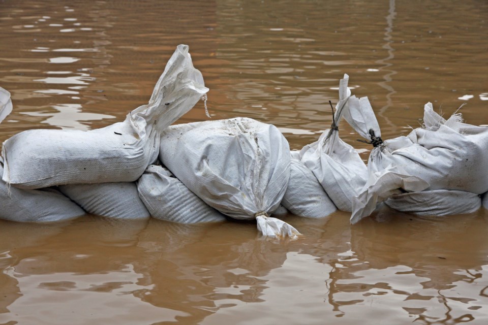
Grand River watershed residents should be aware that flows remain much higher than normal and are not safe for recreational activities. There is a significant amount of debris moving downstream as a result of this event. This debris can pose a risk to recreational users at this time. Municipal staff should inspect municipal bridges, dams, and culverts for debris blockages.
The public is reminded to exercise extreme caution around all water bodies. Banks adjacent to rivers and creeks are very slippery at this time and, when combined with current weather conditions, pose a serious hazard. Parents are encouraged to keep their children and pets away from all watercourses.
This message will remain in effect until noon on Monday, June 26, 2017. Updated flood messages will be issued as conditions develop.
More information
- For more information on flows, weather and reservoir conditions see the River Data section of the GRCA website.
- Safety information for parents and children is available in the GRCA’s River Safety Rulesbooklet.
- More information on the flood warning system is available on the GRCA website.
- Receive GRCA flood messages by e-mail by subscribing through the GRCA website.
- Follow GRCA flood messages on Twitter at grca_flood_msg.
- More information about how the GRCA manages floods is available in the Flooding section of the website.
*************************