ENVIRONMENT CANADA
*************************
Special weather statement in effect for:
- Guelph - Erin - Southern Wellington County
- Kitchener - Cambridge - Region of Waterloo
- Mount Forest - Arthur - Northern Wellington County
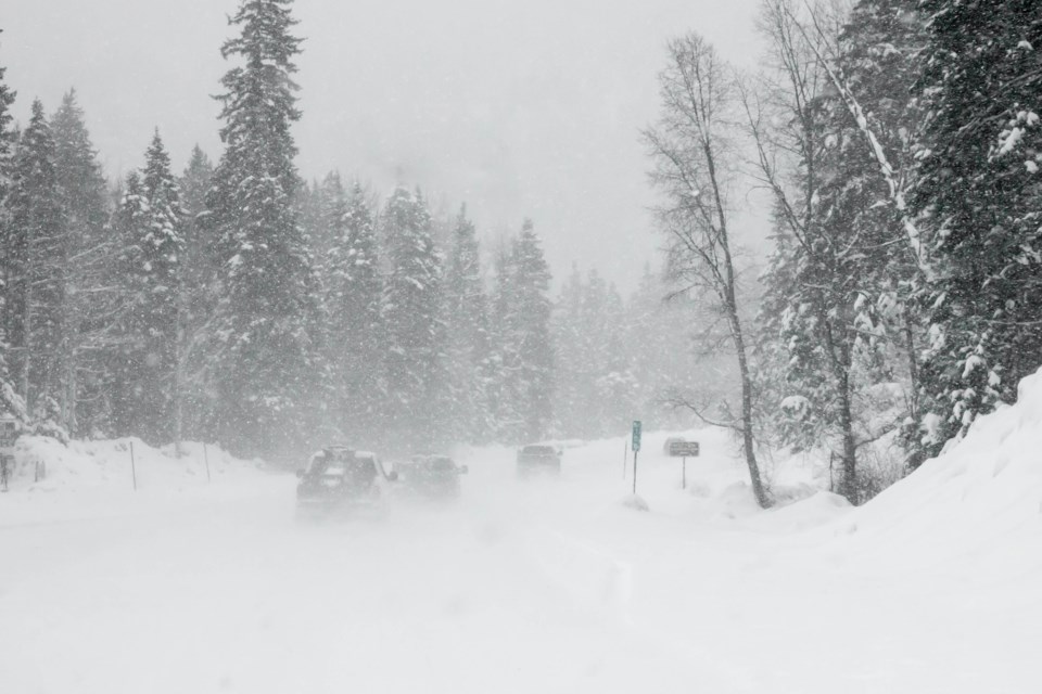
A rather snowy weekend is shaping up for much of Southern Ontario.
Periods of snow will gradually develop today and continue tonight and Sunday. Snowfall amounts will not be particularly heavy, but total weekend amounts may reach 10 to 15 centimetres.
In addition, a sharp Arctic cold front is forecast to sweep across the region Sunday afternoon. A sudden drop in temperature from near the freezing mark may make snow-covered roads rather icy Sunday afternoon.
Motorists should allow extra time to reach their destination especially on Sunday, with particular heed to slippery road conditions.
The snow affecting Southern Ontario this weekend is courtesy of a low pressure system currently over the Dakotas. It is forecast to track across Georgian Bay early Sunday and into southern Quebec by evening. Although it is a relatively weak system, it will absorb some moisture from the Great Lakes tonight and Sunday.
Please continue to monitor alerts and forecasts issued by Environment Canada. To report severe weather, send an email to [email protected] or tweet reports using #ONStorm.
*************************