Skip to content

Heavy snow coming to area Sunday, says Environment Canada

snowsquall
Stock image

WEATHER ALERT
ENVIRONMENT CANADA
*************************
Special weather statement in effect for:

  • Guelph - Erin - Southern Wellington County
  • Kitchener - Cambridge - Region of Waterloo
  • Mount Forest - Arthur - Northern Wellington County

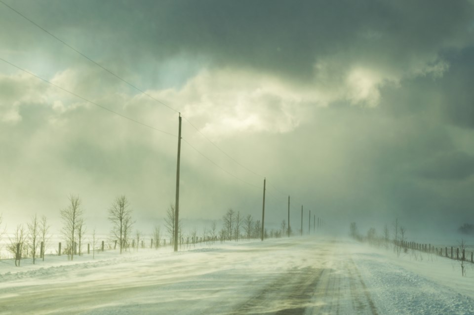
Potential for some brief heavy snow along a cold front late Sunday. A more widespread snowfall likely Monday and Monday night.

An Arctic cold front will cross Southern Ontario later in the day on Sunday into the evening. It will likely be accompanied by a brief burst of heavier snow with reduced visibilities affecting travel. A coating of a couple of centimetres in a short timeframe is possible in some areas.

On Monday, an approaching Alberta Clipper is expected to deliver the first widespread snowfall to virtually all of Southern Ontario. General snowfall amounts of 5 to 10 centimetres appear likely at this early juncture. Although localized slightly higher amounts are possible, snowfall warnings are not expected (where at least 15 centimetres would have to fall within 12 hours).

Environment Canada will monitor these weather features and update statements accordingly.

Please continue to monitor alerts and forecasts issued by Environment Canada. To report severe weather, send an email to [email protected] or tweet reports using #ONStorm.

*************************


Comments

Verified reader

If you would like to apply to become a verified commenter, please fill out this form.


Current Weather

Clear

Clear

0.0°C

Pressure
102.6 rising
Visibility
16.1 km
Dewpoint
-6.2 °C
Humidity
63%
Wind
N 11 km/h

Radar Satellite


Hourly Forecast

Tomorrow
12 AM
0°C
Clear
Tomorrow
1 AM
-1°C
Clear
Tomorrow
2 AM
-2°C
Clear
Tomorrow
3 AM
-3°C
Clear
Tomorrow
4 AM
-3°C
Clear
Tomorrow
5 AM
-4°C
Clear
Tomorrow
6 AM
-3°C
Sunny
Tomorrow
7 AM
-1°C
Sunny
Tomorrow
8 AM
0°C
Sunny
Tomorrow
9 AM
2°C
Sunny
Tomorrow
10 AM
3°C
Sunny
Tomorrow
11 AM
5°C
Sunny

7 Day Forecast

A few clouds

Tonight

-4 °C

Clear. Wind north 20 km/h gusting to 40 becoming light early this evening. Low minus 4. Wind chill minus 8 overnight.


Sunny

Thursday

11 °C

Sunny. Wind up to 15 km/h. High 11. Wind chill minus 7 in the morning. UV index 5 or moderate.


Clear

Thursday night

-2 °C

Clear. Wind up to 15 km/h. Low minus 2. Wind chill minus 7 overnight.


Sunny

Friday

14 °C

Sunny. High 14.


Cloudy

Friday night

7 °C

Increasing cloudiness. Low 7.


Chance of showers

Saturday

17 °C

Cloudy with 70 percent chance of showers. High 17.


Chance of showers

Saturday night

14 °C

Cloudy with 40 percent chance of showers. Low 14.


Chance of showers

Sunday

21 °C

Cloudy with 40 percent chance of showers. High 21.


Cloudy periods

Sunday night

14 °C

Cloudy periods. Low 14.


Chance of showers

Monday

23 °C

Cloudy with 30 percent chance of showers. High 23.


Chance of showers

Monday night

12 °C

Cloudy with 40 percent chance of showers. Low 12.


Chance of showers

Tuesday

16 °C

Cloudy with 40 percent chance of showers. High 16.


Yesterday

Low
5.6 °C
High
14.8 °C
Precipitation
0.2 mm

Normals

Low
3 °C
High
14 °C

Sunrise and Sunset

Sunrise
6:24 AM
Sunset
8:17 PM

Record Values

Type Year Value
Max 2009 27.4 C
Min 2003 -3.1 C
Rainfall 0 mm
Snowfall 0 cm
Precipitation 2009 16.5 mm
Snow On Ground 2003 0.0 cm

Based on Environment Canada data