A new route in Wellington County can help residents learn more about the history of the local Black community.
Recently, the Guelph Black Heritage Society released a driving map called Wellington County: Black Heritage Reclaimed Driving Map.
Using the map, residents can explore 11 locations of significance to the historical Black community of Wellington County and Waterloo Region. The map starts at Glen Allan cemetery, through Queen's Bush and ends at Richard Pierpoint Park in Fergus. The map is available for purchase at this link.
The map is one way of acknowledging the history of the Black community, as many of the sites are now farmers fields. Denise Francis, president of the Guelph Black Heritage Society, said that is the unique and sad thing about this map.
"By identifying these places that were significant to our community that no longer exist, that’s a powerful image that we want people to be aware of because the Black community has been in our county, and Waterloo Region, since the 1800s, and we need to acknowledge this," said Francis.
"As we keep on telling people, we can't just think about Black history during February or in August during Emancipation Day, it's something we need to keep on talking about year round."
Along with the site locations, the map shares a bit of history about these spots. One story talks about Richard Pierpoint, a loyalist, soldier, community leader, social justice advocate and storyteller in Canada's early Black community.
"What’s kind of neat about the map too is that at the bottom, the spots we identify, we provide a little history so people understand why these spots are significant," said Francis.
"At one point, I didn't know anything about those stories, because even growing up in Guelph, Black history wasn't taught in our local schools. It's a lot better now, but it wasn't when I was going to school. So in the past year I've learned a lot about Richard Pierpoint and his story, when we think about the Queen's Bush and with everybody featured on the map there, I learned a little bit about each and every one of them."
One challenge in putting the map together was finding information about the locations. To aid in research, the GBHS partnered with the Community Engaged Scholarship Institute (CESI) at the University of Guelph. Francis said PhD student Wencke Rudi was able to find information for the different locations on the map.
“Our history is not that robust and it is hard to find the information, that’s why we were so grateful to have the support and help of Wencke, because as a scholar, she was able to do the research that I do not have the skills to find this information," said Francis.
Now that the map is available, Francis said the next step is to make it more robust by including other locations, like Woodlawn Memorial Park, where some members of the Black community are buried and learn their stories.
"So many stories are well-known, we need to try and do more research on the lesser–known stories, because their voices deserve to be heard as well," said Francis.
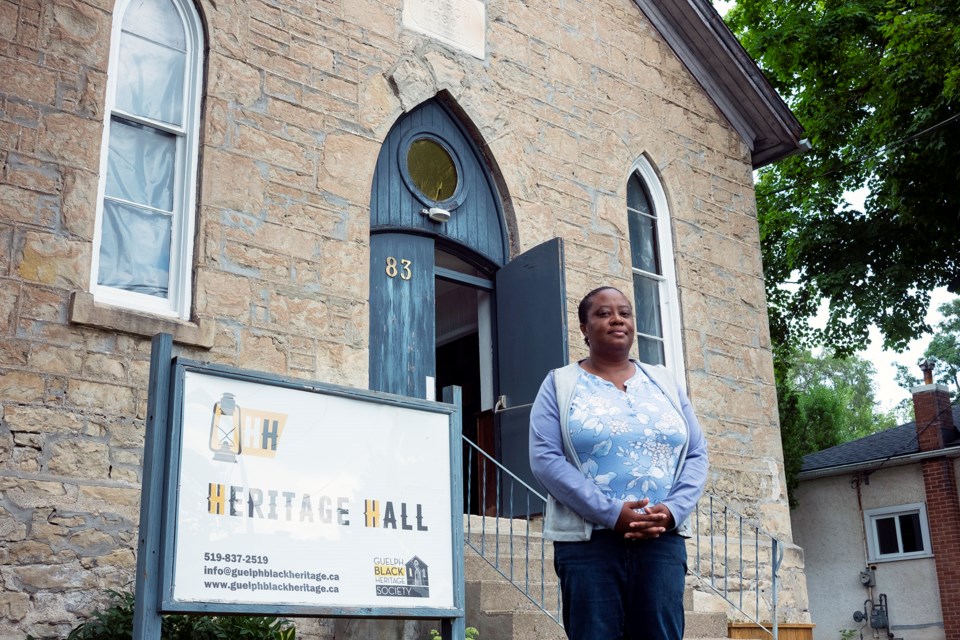
The Wellington County: Black Heritage Reclaimed Driving Map is part of the educational program, #ChangeStartsNow. GBHS is also working on other projects to help residents continue to learn about the local Black community, including the development of a digital archive and an audio walking tour of the former British Methodist Episcopal (BME) Church, which is know home to GBHS and known as Heritage Hall.
Currently, there are in-person walking tours of the BME Church happening on Thursdays, Fridays and Saturdays during the summer. For more information, go to guelphblackheritage.ca.

.png;w=120;h=80;mode=crop)
