It may soon be easier to cycle throughout the city, and not because of expensive infrastructure projects.
Efforts are underway to create a map, and eventually an app, to help cyclists plan their route to avoid hills, heavy traffic spots and other things seen as impediments to transportation via pedal power.
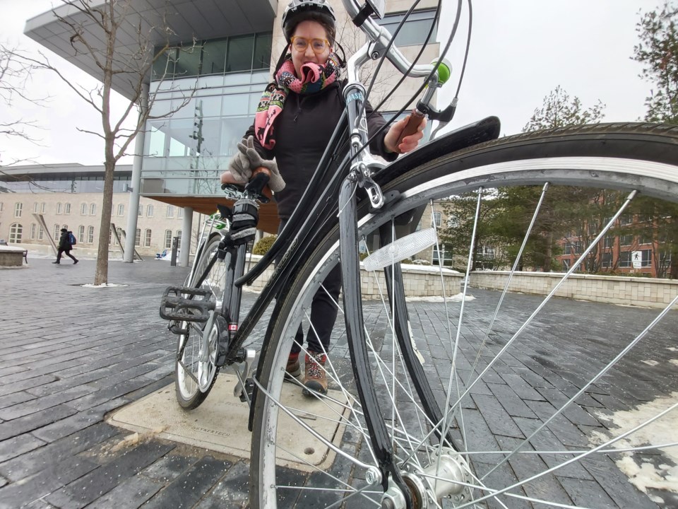
“You’ll be able to use the app to figure out which would be the most comfortable way for you to get somewhere in the city,” said Mike Darmon, president of the Guelph Coalition for Active Transportation (GCAT), which is behind the initiative. “It’ll be really handy for a lot of people who just don’t want to go on certain streets. They can actually customize their ride to where they want to get to.”
Though still in the early stages of development, the hope is to have a map ready for the start of the next school year, as the project’s original intent was to highlight safe cycling routes for high school students.
By making cycling safer and easier for students, the goal is to lessen the number of cars on the road, especially at drop-off and pickup times when congestion is often at its peak in school neighbourhoods.
“It will broaden out to be available for the general public in the end,” said Darmon.
The map will feature a combination of road and trail pathways.
“It seems like everybody has their own way of navigating the city,” said Jude Keefe, a recent University of Guelph graduate who’s been contracted to create the map. “The idea is to create something that is as intuitive as we can make it for somebody to use and get an effective route plan.”
Keefe said she’s working on a template now and hopes to provide an initial version to GCAT this spring in order to gather input and suggestions from members. Rollout is slated for September, when the map is to be posted on the GCAT website.
Ideally, Keefe added, users will be able to interact with the map by providing comments about specific locations, making suggestions for infrastructure improvements and highlighting some of the city’s “hidden gems” others may want to check out.
That information may be used to inform future projects, she noted.
Last year the City of Guelph committed $5,000 to the mapping initiative through its COVID-19 Emergency Fund.


