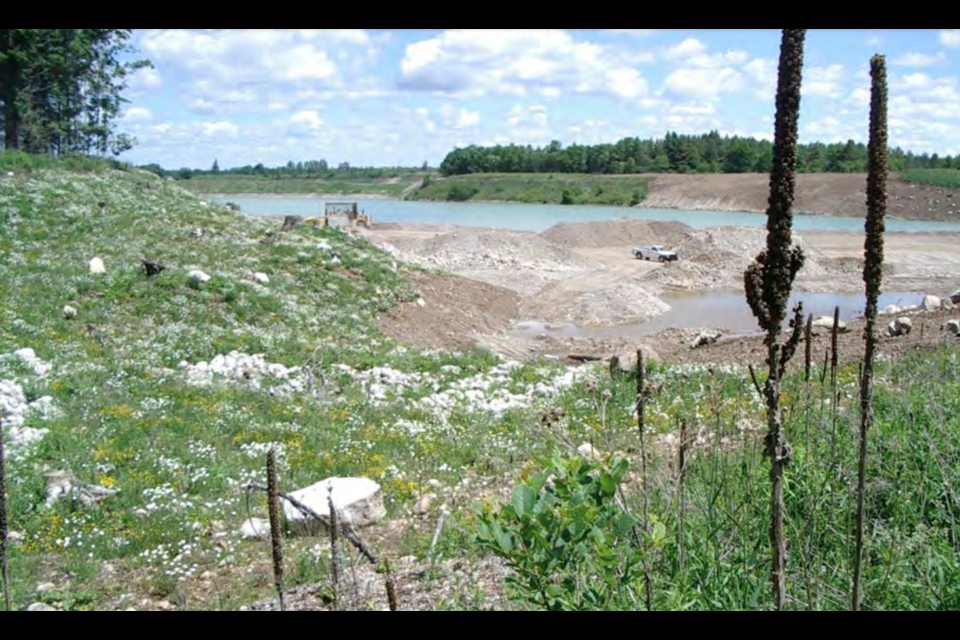
PUSLINCH ‒ Experts say stabilization is needed as groundwater flows show signs of reversing in areas of the Mill Creek Pit, a gravel pit located on Concession 2, bordering Puslinch and Cambridge
Coming to council on Wednesday, a new report recommends that the township, in collaboration with the aggregate industry and other water users in the area should identify the root cause for the reversal of groundwater flow to Mill Creek, a cold water fishery with brook and brown trout populations that spawn along the site.
According to the report, all groundwater levels measured were within their maximum and minimum historical range in 2022 but there is a trend toward lower water levels in groundwater monitors adjacent to one of four large open water bodies where aggregate was extracted below the water table.
Groundwater and surface water monitoring are conditions of the aggregate license and there are specific water level thresholds designed to ensure that groundwater quantity and quality are not significantly affected.
“Groundwater flow is hovering around the minimum allowable,” said Stan Denhoed, a senior hydrogeologist for Harden Environmental Services Ltd, in the report. “We recommend a review of Pond 3 levels and the factors that influence the pond level in hopes of identifying methods to stabilize levels with more favourable groundwater flow to Mill Creek in an important fishery area.”
A review of the Mill Creek drive point monitors also shows that there were significant changes in hydraulic gradients within Mill Creek occurring in 2022.
First indicated between Highway 401 and Concession Road 7, while available data shows groundwater discharges to Mill Creek south of Highway 401, at three locations north of Highway 401 a reversal has occurred and the stream contributed to the groundwater system in 2022.
“In 2022 it is observed that historically significant downward gradients occurred in Mill Creek between the Hanlon Expressway off-ramp from Highway 401 to Concession Road 7,” said Denhoed. “The report states that the ‘sudden change in gradient is due to upgradient activities’.”
Owned by the University of Guelph and operated by Dufferin Aggregates, the 188.4-hectare property began extraction in 1995 and is adjacent to provincially significant wetlands.
Approximately half of the university property on the north side of Township Road 2 is within the regulatory flood line of Mill Creek.
“The threshold breaches…are concerning insofar as the artificial water level in Phase 3 pond strongly influences the hydraulic gradient between these monitoring pairs,” said the report. “Temporary responses to storm events that trigger the observed breaches and (figures) show that the hydraulic gradient is riding close to the threshold.”
The report advised that continued monitoring during the active and post-extraction phases is necessary to confirm that water levels have stabilized at an elevation favourable for continued groundwater discharge to Mill Creek.
The full report can be found here.
Isabel Buckmaster is the Local Journalism Initiative reporter for GuelphToday. LJI is a federally-funded program.


