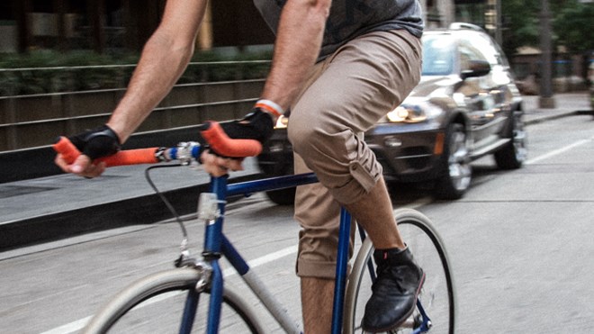
With a goal of getting more people out of motor vehicles, the city is considering design changes along three major road corridors in hopes of improving cyclist safety and comfort.
A study has been launched that could see motorists physically separated from cyclists, pedestrians and other users along Eramosa Road (Woolwich Street to Victoria Road), Gordon Street (Waterloo Avenue to Clair Road) and College Avenue (Janefield Avenue to Dundas Lane).
“We’re wanting to reduce (incidents) that result in serious injury, improve the connectivity of road networks and we also want to increase the non-auto mode share of trips that are made in Guelph,” explained Jennifer Juste, the city’s manager of transportation planning.
“This is the very first, preliminary study where we’re going to look at refining our conceptual design options for each of those corridors.”
Five design concepts will be considered for each corridor individually, including a 'do nothing' option.
The others are:
Cycle track: one-way bike lanes located outside roadway curbs, often next to the sidewalk, physically separated from motor vehicle traffic
Multi-use path: two-way shared pedestrian and cycling routes, physically separated from motor vehicle traffic, often located similarly to how sidewalks are but wider in order to accommodate the shared use
Protected bike lanes: one-way, at the same level as the roadway but physically separated from traffic by things such as curbs, bollards or planter boxes
Hybrid model: some form of combination of the other options.
Design concepts could vary throughout an individual corridor, Juste noted.
“Depending on the location, it might need to transition in certain places,” she said. “Looking at Gordon Street, between downtown and College is a very different environment – it’s very tight and constrained and uphill – than it is south of College so we might be looking at different options to work with the space that we have.”
Juste said those corridors were selected because of their high use and connection with major transit stations, as well as commercial and employment opportunities. There are also numerous schools in those areas.
Public input is currently being sought online, with a Dec. 17 deadline for comments and questions at this stage in the process. An interactive mapping tool is available for people to use.
Residents are being asked to comment on their key destinations, connections, constraints and pinch-points in the study area corridors. Feedback is sought from a variety of perspectives, including drivers, cyclists and pedestrians.
Funding for the effort comes in part through the joint federal and provincial Investing in Canada Infrastructure Program. Last year the city received $3.39 million that could be used for the project.