WEATHER ALERT
ENVIRONMENT CANADA
*************************
Snowfall warning in effect for:
- Guelph - Erin - Southern Wellington County
- Kitchener - Cambridge - Region of Waterloo
Snowfall with total amounts of 15 to 25 cm is expected.
Hazards:
Snow, at times heavy, this afternoon through Friday morning. Total snowfall accumulations of 15 to 25 cm possible.
Near zero visibility at times in heavy snow and blowing snow.
Icy and slippery surfaces.
When:
This afternoon through Friday morning.
Discussion:
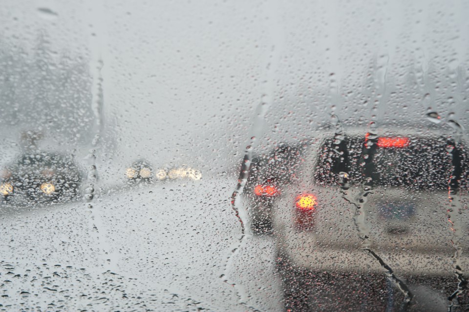
A low pressure system is expected to track just south of Lake Erie and Lake Ontario tonight which will bring a messy mix of wintry precipitation to southern Ontario. Rain is expected to transition to snow this afternoon. Freezing rain and ice pellets are also possible this morning and afternoon during the transition.
As the track of the low pressure system remains uncertain, precipitation timing and amounts may change.
Be prepared to adjust your driving with changing road conditions. Rapidly accumulating snow could make travel difficult over some locations. Visibility may be suddenly reduced at times in heavy snow. Surfaces such as highways, roads, walkways and parking lots may become difficult to navigate due to accumulating snow.
Please continue to monitor alerts and forecasts issued by Environment Canada. To report severe weather, send an email to [email protected] or tweet reports using #ONStorm.
*****
Special weather statement in effect for:
- Guelph - Erin - Southern Wellington County
- Kitchener - Cambridge - Region of Waterloo
Significant rainfall expected tonight into Thursday.
Hazard:
Rain. Total rainfall amounts of 10 to 25 mm possible by Thursday afternoon.
When:
This evening through Thursday afternoon.
Discussion:
A low pressure system is expected to track northeast across Lake Erie and Lake Ontario Thursday night which will bring a messy mix of wintry precipitation to southern Ontario. Precipitation will likely begin as rain this evening and transition to snow Thursday morning or afternoon.
At this time the track of this low pressure system is uncertain, and as such precipitation timing and amounts may change.
For information concerning flooding, please consult your local Conservation Authority or Ontario Ministry of Natural Resources and Forestry District office. Visit Ontario.ca/floods for the latest details.
Please continue to monitor alerts and forecasts issued by Environment Canada. To report severe weather, send an email to [email protected] or tweet reports using #ONStorm.
*************************