ENVIRONMENT CANADA
**************************
9:13 PM EDT Friday 05 July 2019
Severe thunderstorm warning in effect for:
- Kitchener - Cambridge - Region of Waterloo
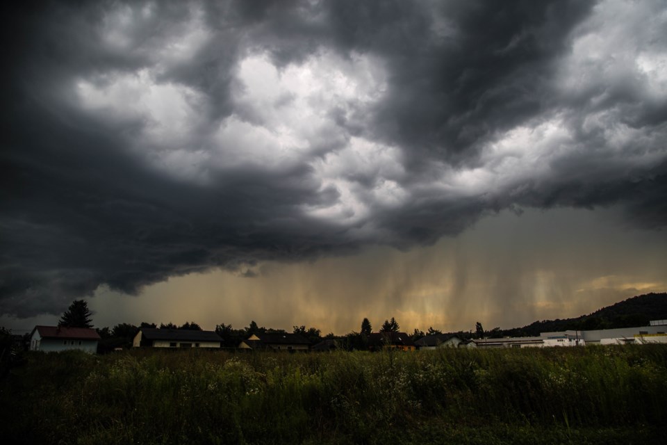
Thunderstorms with torrential rain continue to move slowly eastward across portions of the regions. Rainfall amounts of 50 mm an hour or more are associated. Local totals of 80 mm are possible.
Heavy downpours can cause flash floods and water pooling on roads. Lightning kills and injures Canadians every year. Remember, when thunder roars, go indoors!
Severe thunderstorm warnings are issued when imminent or occurring thunderstorms are likely to produce or are producing one or more of the following: large hail, damaging winds, torrential rainfall.
The Office of the Fire Marshal and Emergency Management recommends that you take cover immediately if threatening weather approaches.
Please continue to monitor alerts and forecasts issued by Environment Canada. To report severe weather, send an email to [email protected] or tweet reports using #ONStorm.
For more information: http://www.emergencymanagementontario.ca/english/beprepared/beprepared.html.
9:05 PM EDT Friday 05 July 2019
Special weather statement in effect for:
- Guelph - Erin - Southern Wellington County
- Kitchener - Cambridge - Region of Waterloo
Local heavy downpours this evening.
Scattered thunderstorms are expected to continue to develop and move slowly eastward across portions of the regions this evening. Local rainfall amounts of up to 50 millimetres may occur.
These downpours are very localized and some places will see no rain at all.
Please continue to monitor alerts and forecasts issued by Environment Canada. To report severe weather, send an email to [email protected] or tweet reports using #ONStorm.
6:41 PM EDT Friday 05 July 2019
Heat Warning in effect for:
- Guelph - Erin - Southern Wellington County
- Kitchener - Cambridge - Region of Waterloo
- Mount Forest - Arthur - Northern Wellington County
A heat event will continue into Saturday.
A hot and humid airmass is expected to remain in place into Saturday. Daytime maximum temperatures into the low thirties with humidex values near 40 continue this evening. Overnight minimum temperatures will remain near 20 degrees providing little relief.
On Saturday temperatures will remain near thirty with humidex values in the upper thirties; however with the passage of a cold front, cooler temperatures and lower humidity is expected for the remainder of the weekend.
Extreme heat affects everyone.
The risks are greater for young children, pregnant women, older adults, people with chronic illnesses and people working or exercising outdoors.
Drink plenty of water even before you feel thirsty and stay in a cool place.
Never leave people or pets inside a parked vehicle.
Heat warnings are issued when very high temperature or humidity conditions are expected to pose an elevated risk of heat illnesses, such as heat stroke or heat exhaustion.
Please continue to monitor alerts and forecasts issued by Environment Canada. To report severe weather, send an email to [email protected] or tweet reports using #ONStorm.
**************************