FERGUS - The Pierpoint neighbourhood group called on council to remove the bridge crossing at Wellington Road 29 to help protect Pierpoint Park.
They also want to see Pierpoint fly fishing nature reserve designated as a cultural heritage landscape.
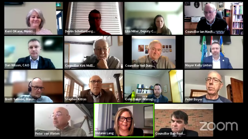
At Monday’s virtual meeting, the neighbourhood group delegated about a proposed truck bypass across the Grand River which is suggested to link Wellington Road 29 and Anderson Street, north of Wellington Road 18.
The group wanted council to make amendments to the township’s transportation master plan to remove the bridge crossing at as a “preferred alternative” in order to protect the natural and historically significant values of Pierpoint Park.
“After examining the existing traffic patterns, we recognize, fully support and understand the need for a truck bypass, however, we’re simply asking to look further east of town for compatible options,” said Melanie Lang, a representative of the neighbourhood group, during her delegation.
“We would respectfully request that an amendment to the Centre Wellington transportation master plan be made to remove the bridge crossing at highway (sic) 29 as it is currently listed as “preferred alternatives”; and secondly, we hope that a designation of the Pierpoint fly fishing nature reserve as a cultural heritage landscape be made in Centre Wellington study and inventory.”
The group previously delegated to the county roads committee last November, in which they presented a similar presentation at the township meeting.
Mayor Kelly Linton informed council and the delegates that council will only receive their delegation for information as council cannot make “drastic changes without proper and full discussions.”
Several councillors, however, wondered about the exact location of the proposed bypass, whether or not it will go through the park.
“According to the county RMAP and township’s transportation plan, the proposed bypass across the river will bypass the neighbourhood rather than passing through Anderson Street, is this correct?” asked Coun. Ian MacRae.
Colin Baker, managing director of infrastructure services, responded that the route shown in the county master plan at the crossing is an unopened road allowance that extends from Wellington Road 29 to Anderson Street, which encompasses the crossing of that location; the Pierpoint Park will be located just west of that unopened road allowance.
“Essentially what’s shown is using that unopened road allowance. The road will swing to the east through the farmland and will connect to county road 19,” said Baker.
“This is the master plan level and there’ll be a follow up class environmental assessment that will look in detail at a number of different options, crossing stations, and heritage sites, which will be done well in advance of any construction.”
Township CAO Dan Wilson informed council of the discussions he’s previously had with the neighbourhood group, noting that he’s told them of a discrepancy between the county’s RMAP and the township’s transportation master plan.
“There was, at one point, a discrepancy in the county’s RMAP and our transportation master plan, and that’s alluded to the fact that the county did amend their master plan before they finalized it to show a county road 29 extension that’s consistent with our master plan, which is going east of Anderson rather than going straight through Anderson,” explained Wilson.
“The way we see it, it’s estimated that one or two updates to the township transportation master plan between now and the river crossing construction will be required. From a timing perspective, this is not in our current forecast. It’s projected to happen between 2032 and 2041. More planning needs to happen before construction can take place or a location is considered.”


