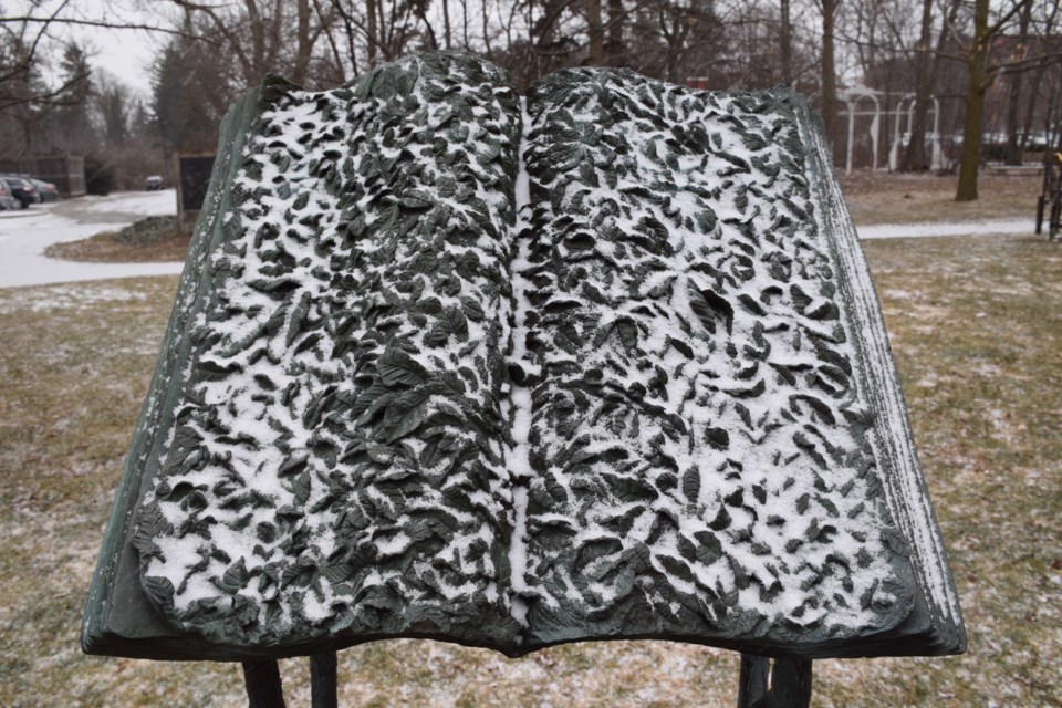
Guelph got white all over on Monday, as promised by weather forecasters.
Snow started falling in late afternoon, and in combination with temperatures that stood around -8C by early afternoon, there was no denying the conditions felt as much like winter as the area has experienced throughout much of the weird winter.
The season doesn’t officially end until around 6:30 a.m. on March 20, seven short days from now. But given the unpredictability of the weather this winter, it is probably safe to say that spring may come officially next Monday, but climatically it may prove stubborn.
Environment Canada issued a special weather statement Monday for Guelph, Erin, and Southern Wellington County, and up to Mount Forest, Arthur and Northern Wellington Country. It warned of snowfall amounts of 10 to 15 cm by Tuesday night, and poor driving conditions.
Travel conditions deteriorated quickly in the Guelph area in the early afternoon, and are expected to stay that way into the evening. Expect slippery areas because of the cold conditions. Snow will taper off Tuesday night as the low pressure system moves east.
Cold temperatures, well below normal for this time of year, will persist through Thursday. It should be above zero, but just a touch, by Friday. Flurries are in the forecast for Saturday.
