NEWS RELEASE
GRAND RIVER CONSERVATION AUTHORITY
**************************
The Grand River Conservation Authority is issuing the following Flood Warning message for the entire Grand River watershed. This message replaces Flood Message #4 issued on Jan. 12.
River flows in the northern and central portions of the Grand River watershed continue to recede following the record rainfall event that impacted the Grand River watershed for much of the weekend. Flows in the southern watershed, south of Caledonia, are forecast to peak overnight Monday into Tuesday morning.
Portions of the watershed received upwards of 100mm of rainfall over the weekend. GRCA reservoirs on the Grand, Conestogo and Speed Rivers were used to significantly reduce downstream flooding during this event. River flows will remain high through the rest of this week as those reservoirs are returned to their normal operating level for this time of year.
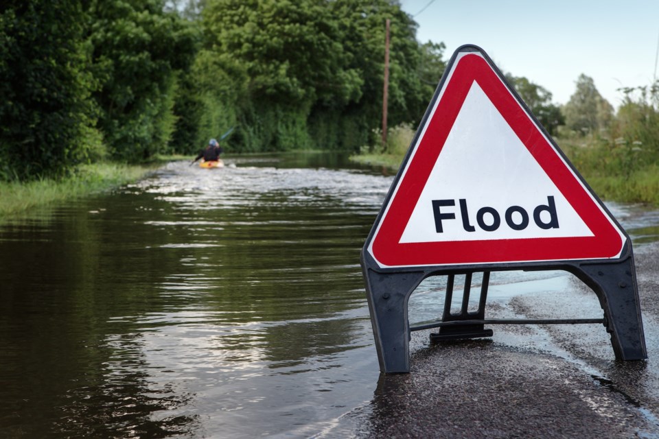
Northern Grand River Watershed
River flows continue to recede across the northern portion of the watershed but will remain much higher than normal for this time of year through the coming week.
Central Grand River Watershed
River flows in the Grand River and Speed River continue to recede across the central portion of the Grand River watershed. The Nith River peaked on Monday morning through Ayr in Flood Warning Zone 3 and in Wolverton mid-day Monday. Flows will continue to recede through the week.
Flood Coordinators in Wilmot, Woolwich, North Dumfries, and Cambridge are requested to maintain road closures as necessary and continue to monitor conditions.
Southern Grand River Watershed
River flows in the Grand River through the southern watershed have peaked through Brantford, Brant County, Six Nations, and Caledonia and will slowly recede through the week. River flows through Cayuga and Dunnville will continue to rise through the day on Monday before peaking overnight Monday into early Tuesday morning. Reservoirs in the northern and central portions of the watershed were used to reduce downstream flooding during this event. Flows through the southern watershed will remain extremely high through the remainder of the week.
Flood Coordinators in Brantford, Brant County, Six Nations, and Haldimand County are requested to maintain road closures as necessary and continue to monitor conditions.
Grand River (Cayuga)
Flows in the Grand River through Cayuga are still expected to peak in the 1270 cm/s range late Monday evening. Flows will exceed those experienced during the June 2017 flood event. Haldimand County Flood Coordinators are requested to notify residents on River Front Lane and Maple Road and maintain the closure of River Drive, Sims Lock Road, Grand Sports Drive, the Conway Park area and continue to monitor conditions.
Grand River (Dunnville)
Flows in the Grand River through Dunnville are expected to peak in the 1280 cm/s range early Tuesday morning. Flows will exceed those experienced during the June 2017 flood event. Haldimand County Flood Coordinators have notified residents along the east bank of the Grand River on Main Street, upstream of Dunnville dam. Flood Coordinators are requested to monitor conditions on Lock Street and notify residents as necessary.
Entire Grand River Watershed
A large amount of debris including large trees and branches was swept into the river system during this event. In addition to the higher than normal flows and extremely cold water temperatures, this debris poses an additional hazard on local waterways.
GRCA’s major reservoirs at Belwood, Conestogo, Guelph, Luther, Woolwich, Laurel, and Shade’s Mills were used to manage runoff from this event and reduce flooding downstream of these reservoirs. Water is now being released from these reservoirs, returning them to their normal operating levels for this time of year. River flows throughout the watershed will remain high through this week while runoff from this event moves through the system.
Stay Safe
The public is asked to stay away from all waterways due to the extreme risk at this time and reminded to exercise extreme caution around all water bodies. Banks adjacent to rivers and creeks are very slippery at this time and, when combined with current weather conditions, pose a serious hazard. Parents are encouraged to keep their children and pets away from all watercourses.
This message will remain in effect until Wednesday Jan. 15, 2020. Updated flood messages will be issued as necessary.
**************************