NEWS RELEASE
GRAND RIVER CONSERVATION AUTHORITY
*************************
Warm weather and light rainfall is forecast to move into the Grand River watershed on Wednesday afternoon and remain in place until Friday morning. These conditions are expected to result in snow melt and elevated flows in rivers and streams across the watershed.
Temperatures are expected to drop rapidly by Friday afternoon, which should lower the risk of additional run off. Significant snowfall is forecast to arrive with the cooler temperatures on Friday afternoon.
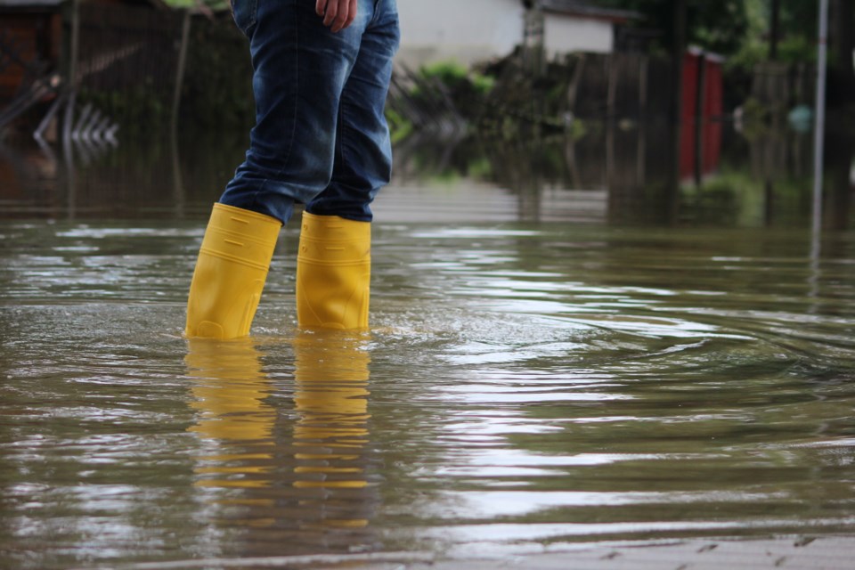
The combination of melting snow and rainfall is expected to push river levels higher, resulting in minor flooding in low-lying areas typically prone to flooding. This system also has the potential to create ice jams in areas prone to these conditions such as Grand Valley, West Montrose, and Cayuga.
Ice jams can occur quickly and without warning. Residents these areas should prepare accordingly. Conditions will be monitored closely.
- Nith River: Flows in the Nith River are expected to increase, peaking just below warning level 1 on Friday afternoon in New Hamburg based on the current forecast model. Flows are expected to peak on Saturday afternoon through Ayr. Municipal flood coordinators are asked to monitor conditions and prepare to warn residents as needed.
- Conestogo River: The flood co-ordinator for Woolwich Township should monitor conditions and prepare to close the low level bridge upstream of St. Jacobs at 1505 Three Bridge Road on Thursday evening. It is anticipated that this closure will remain in effect for much of the day on Friday until flows in the Conestogo River recede.
- City of Cambridge: City of Cambridge flood co-ordinators are asked to monitor and be prepared to close Blackbridge Road at the Speed River on Friday.
- Entire Grand River Watershed: A risk of flooding exists in low-lying areas and from ice jams as this event moves through the watershed. Residents in areas typically prone to flooding should be aware of these conditions and take appropriate precautions.
The major reservoirs at Belwood, Conestogo, Guelph, Luther, Woolwich, Laurel, and Shades are at low winter holding levels and have storage available to manage the runoff.
GRCA ice fishing
It is expected that ice fishing at Belwood Lake reservoir will be suspended in response to increased flows into the reservoir and uncertain ice conditions. Anyone planning a visit to the reservoir is advised to call ahead (519-843-2979) for an update on current conditions.
Stay safe
The public is reminded to exercise extreme caution around all water bodies. Banks adjacent to rivers and streams are very slippery at this time and, when combined with current weather conditions, pose a serious hazard.
Parents are encouraged to keep their children and pets away from all watercourses and off frozen water bodies, which will be weakened as a result of the warming trend.
This message will remain in effect until noon on Friday, Jan. 12, 2018. Updated flood messages will be issued as conditions develop and better forecast information becomes available.
More information
- For more information on flows, weather and reservoir conditions see the River Data section of the GRCA website.
- Safety information for parents and children is available in the GRCA’s River Safety Rules booklet.
- More information on the flood warning system is available on the GRCA website.
- Receive GRCA flood messages by e-mail by subscribing through the GRCA website.
- Follow GRCA flood messages on Twitter at grca_flood_msg.
- More information about how the GRCA manages floods is available in the Flooding section of the website.
*************************