Environment Canada has issues a freezing rain warning for Guelph and Wellington County later Wednesday.
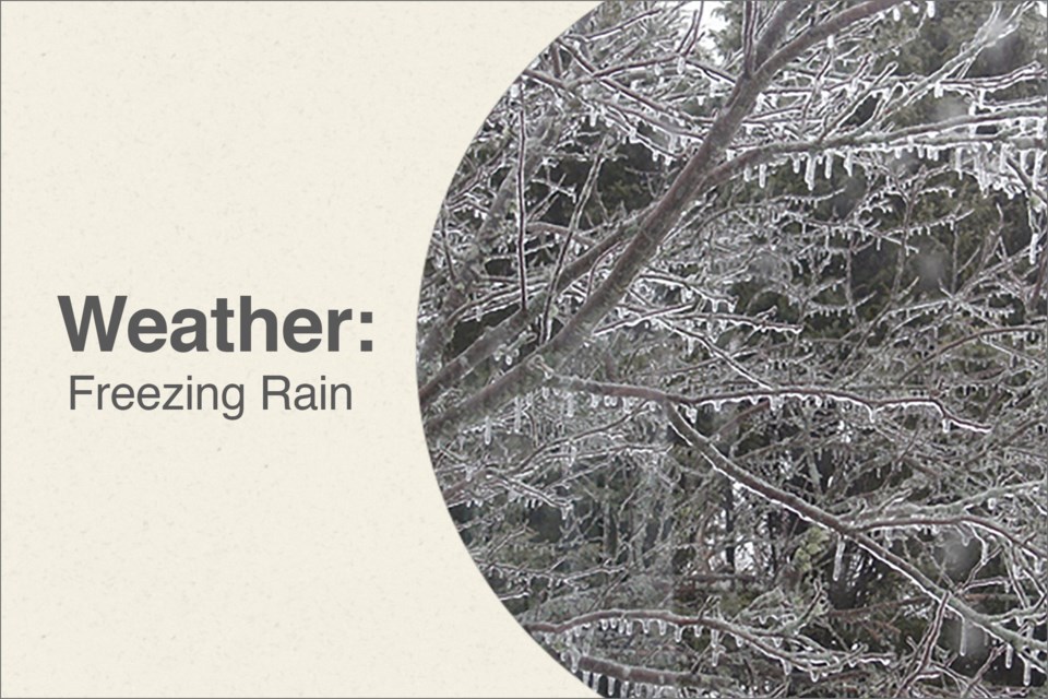
Ice accumulation on untreated surfaces of five to 15 millimetres is possible by Thursday afternoon.
Slippery conditions may cause significant impact on transportation. There may also be power outages.
A cold front is expected to move to the south of the region this morning then stall over regions near Lake Erie later Wednesday and into Thursday.
Meanwhile, a strong Colorado low is expected to track northeast along the line of the front, with precipitation from this system arriving Wednesday as a cold rain over southern sections or some snow mixed with ice pellets further north and east.
As cold air continues to feed in from the northeast, temperatures will drop to 0 C or below by this evening, and a broad band of freezing rain is expected to develop as a result.
The band of freezing rain will likely linger over the regions well into Thursday as stiff northeasterly winds continue to pump in a fresh supply of cold arctic air.
The freezing rain is expected to slowly change over to rain Thursday morning in areas from Toronto west to Lake Huron.
In regions further east, freezing rain may last well into Thursday night, with further ice accretion possible.
Surfaces such as highways, roads, walkways and parking lots will become icy, slippery and hazardous. Be prepared to adjust your driving with changing road conditions.
There may be a significant impact on rush hour traffic in urban areas. Ice build-up may cause tree branches to break. Utility outages may occur.
For information on emergency plans and kits go to http://www.getprepared.gc.ca/.