WEATHER ALERT
ENVIRONMENT CANADA
*************************
Freezing rain warning in effect for:
- Guelph - Erin - Southern Wellington County
- Kitchener - Cambridge - Region of Waterloo
- Mount Forest - Arthur - Northern Wellington County
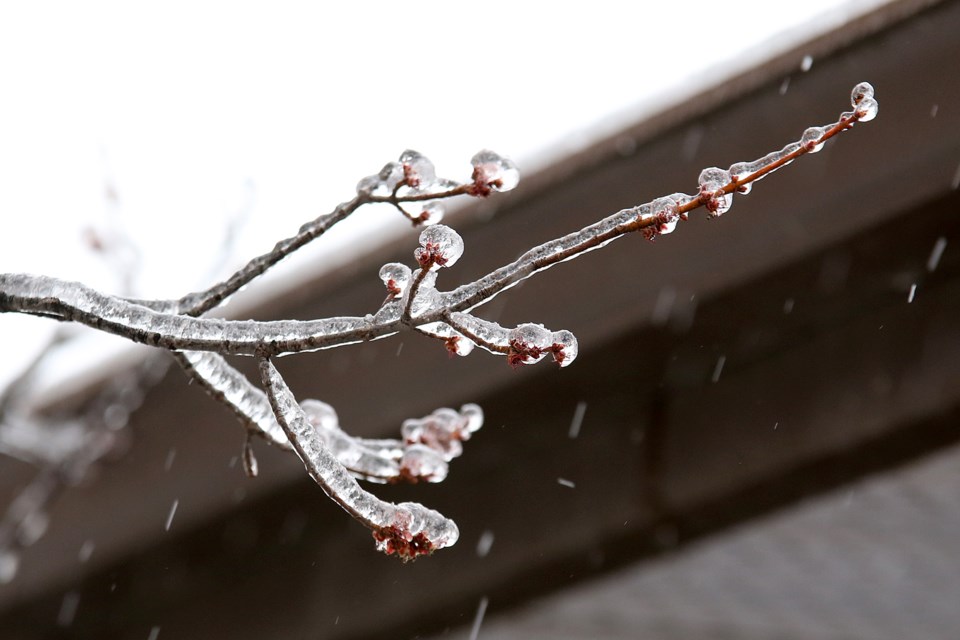
Significant ice build-up due to freezing rain is expected or occurring.
Ice storm likely this weekend.
A moisture laden low pressure area over the Central Plains States will amble slowly towards the lower Great Lakes this weekend. As the low gets closer, brisk northeasterly winds will pump in cold arctic air, forcing temperatures to fall to near or below the zero degree mark on Saturday.
Rain associated with this low will therefore switch over to freezing rain on Saturday, and will likely persist for a number of hours into Saturday evening. Freezing rain may become mixed with or turn over to ice pellets at times. Some snow may fall in areas north of Highway 7 later Saturday, with several centimetres of snow and ice pellets expected.
The freezing rain or ice pellets will end for a few hours on Saturday evening, with patchy freezing drizzle likely during the lull. However, as the low gets close to Southern Ontario Saturday night, freezing rain is expected to move back in, and may persist well into Sunday before changing over to rain, heavy at times. Some uncertainty exists as to the time the precipitation switches over to rain on Sunday.
Ice build up of 10 to 20 mm appears quite likely across the region by Sunday morning. Some areas may receive more than 20 mm of freezing rain, which would result in higher amounts of ice accretion especially if temperatures hover a couple degrees below zero.
Ice accumulations of this magnitude combined with gusty northeast winds to 60 km/h may result in widespread power outages due to fallen tree limbs and power lines.
Dangerous winter driving conditions are expected on untreated roads Saturday and Sunday.
Flooding may become a threat in some areas by Sunday evening.
Rain is expected to taper off later Monday.
Surfaces such as highways, roads, walkways and parking lots will become icy, slippery and extremely hazardous. If you must travel, keep others informed of your schedule and destination and carry an emergency kit and mobile phone. Beware of branches or electrical wires that could break under the weight of ice. Extended and widespread utility outages are possible. For information on emergency plans and kits go to http://www.getprepared.gc.ca/
Please continue to monitor alerts and forecasts issued by Environment Canada. To report severe weather, send an email to [email protected] or tweet reports using #ONStorm.
*************************