NEWS RELEASE
GRAND RIVER CONSERVATION AUTHORITY
*************************
The Grand River Conservation Authority is updating the following combined High Lake Erie Level Flood Warning and watershed-wide River Flood Watch message. The Watershed Conditions Statement for Lake Erie remains in effect.
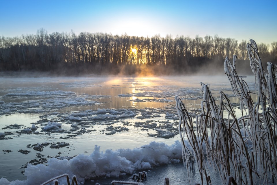
A strong weather system continues to move across the Grand River watershed, which includes warm weather and particularly high winds. Rainfall amounts associated with this system were 25 mm or less in most areas of the watershed. These conditions have resulted in snowmelt and elevated flows in rivers and streams across the watershed. The high winds are expected to cause a significant storm surge event for Lake Erie.
Updated high Lake Erie level flood warning – Lake Erie Flood Zone 5
The most recent Ministry of Northern Development, Mines, Natural Resources and Forestry (NDMNRF) forecast is advising of continued high winds from the south and southwest for the Lower Great Lakes, resulting in a significant storm surge.
The NDMNRF forecast is predicting the following in the vicinity of Port Maitland:
- Lake Erie current elevation at Port Maitland: 174.8 m (IGLD 1985)
- Lake Erie estimated to peak at: 176.5 m (IGLD 1985), excluding waves
- Lake Erie Expected time of peak: Saturday, December 11, 2021 in the evening
- Critical Level: 175.5 m (IGLD 1985)
- Forecast (estimated) Peak Lake Level: 1.0 m above the critical level, excluding waves
- Flood Zone Area of Impact: Zone 5 flood zone along Lake Erie shoreline
The Haldimand County Flood Coordinator is requested to warn affected residents and businesses up to and including Lake Erie Flood Zone 5, along the Grand River downstream of Dunnville Dam, in the community of Port Maitland, and along the lakeshore and to monitor roads along the lakeshore and implement closures as necessary. Waves in excess of 1.8 m are expected to accompany this event.
Updated river flood watch message
The combination of snowmelt and rainfall on saturated or frozen ground has increased river flows, resulting in minor flooding in low-lying areas adjacent to rivers and streams typically prone to flooding. Conditions continue to be monitored.
The major reservoirs at Belwood Lake, Conestogo Lake, Guelph Lake, Luther Marsh, Woolwich, Laurel Creek, and Shade’s Mills are being used to manage runoff from this event and are helping to reduce potential flooding downstream. Water will be released from these reservoirs over the coming week.
Stay safe
The public is reminded to stay away from the Lake Erie shoreline due to strong wave action and elevated water levels and follow the direction of local emergency officials. The public is advised to familiarize themselves with flood warning zone mapping for the Lake Erie shoreline available on Haldimand County’s website. Lake levels are updated each hour on the GRCA website under the river data section. The latest NDMNRF forecast is also available on the website.
The public is also advised to use extreme caution around all water bodies. Banks adjacent to rivers and creeks are very slippery at this time, and when combined with current weather conditions, pose a serious hazard. Parents are reminded to keep their children and pets away from all watercourses and water bodies.
This message will remain in effect until noon on Monday, December 13, 2021. Conditions are being monitored closely and updated flood messages will be issued if needed.
More information
- For more information on flows, weather and reservoir conditions see the River Data section of the GRCA website.
- For more information on Lake Erie levels, see the Lake Erie page of the GRCA website.
- Safety information for parents and children is available in the GRCA’s River Safety Rules booklet.
- More information on the flood warning system is available on the GRCA website.
- Receive GRCA flood messages by e-mail by subscribing through the GRCA website.
- Follow GRCA flood messages on Twitter at grca_flood_msg.
- More information about how the GRCA manages floods is available in the Floodingsection of the website.