WEATHER ALERT
ENVIRONMENT CANADA
*************************
Freezing rain warning in effect for:
- Guelph - Erin - Southern Wellington County
- Kitchener - Cambridge - Region of Waterloo
- Mount Forest - Arthur - Northern Wellington County
Significant freezing rain expected today.
Hazards:
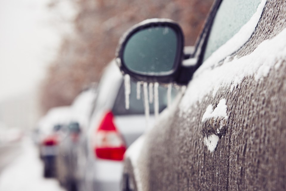
Freezing rain with ice accretion of 4 to 8 mm.
Strong easterly winds gusting up to 70 km/h leading to possible local power outages.
Timing:
This morning through this evening.
Discussion:
Freezing rain is expected to develop this morning. Freezing rain will begin to change over to rain in the afternoon, however, over the higher terrain of the Dundalk Highlands, the freezing rain may persist into this evening.
In addition, strong easterly winds will increase the possibility of local power outages.
Surfaces such as highways, roads, walkways and parking lots will become icy, slippery and hazardous. Ice build-up may cause tree branches to break. Utility outages may occur.
Please continue to monitor alerts and forecasts issued by Environment Canada. To report severe weather, send an email to [email protected] or tweet reports using #ONStorm.
*****
Special weather statement in effect for:
- Guelph - Erin - Southern Wellington County
- Kitchener - Cambridge - Region of Waterloo
- Mount Forest - Arthur - Northern Wellington County
Significant rainfall and strong winds today.
Hazards:
Rainfall amounts of 10 to 25 mm may lead to localized flooding in low-lying areas.
Possible local power outages due to strong easterly winds gusting up to 70 km/h.
Timing:
This afternoon and this evening.
Discussion:
Freezing rain is expected this morning. Currently, a freezing rain warning is in effect. Freezing rain will change to rain this afternoon as temperatures rise above the freezing mark. Rainfall amounts of 10 to 25 mm are also possible, particularly for areas which remain above the freezing mark. The partially frozen ground may have a reduced ability to absorb this rainfall and localized flooding in low-lying areas may be possible. Rain will taper off from west to east tonight.
In addition, strong easterly winds will increase the possibility of local power outages.
For information concerning flooding, please consult your local Conservation Authority or Ontario Ministry of Northern Development, Mines, Natural Resources and Forestry office. Visit Ontario.ca/floods for the latest details.
Please continue to monitor alerts and forecasts issued by Environment Canada. To report severe weather, send an email to [email protected] or tweet reports using #ONStorm.
*************************