SPECIAL WEATHER STATEMENT
ENVIRONMENT CANADA
*************************
Special weather statement in effect for:
- Guelph - Erin - Southern Wellington County
- Kitchener - Cambridge - Region of Waterloo
- Mount Forest - Arthur - Northern Wellington County
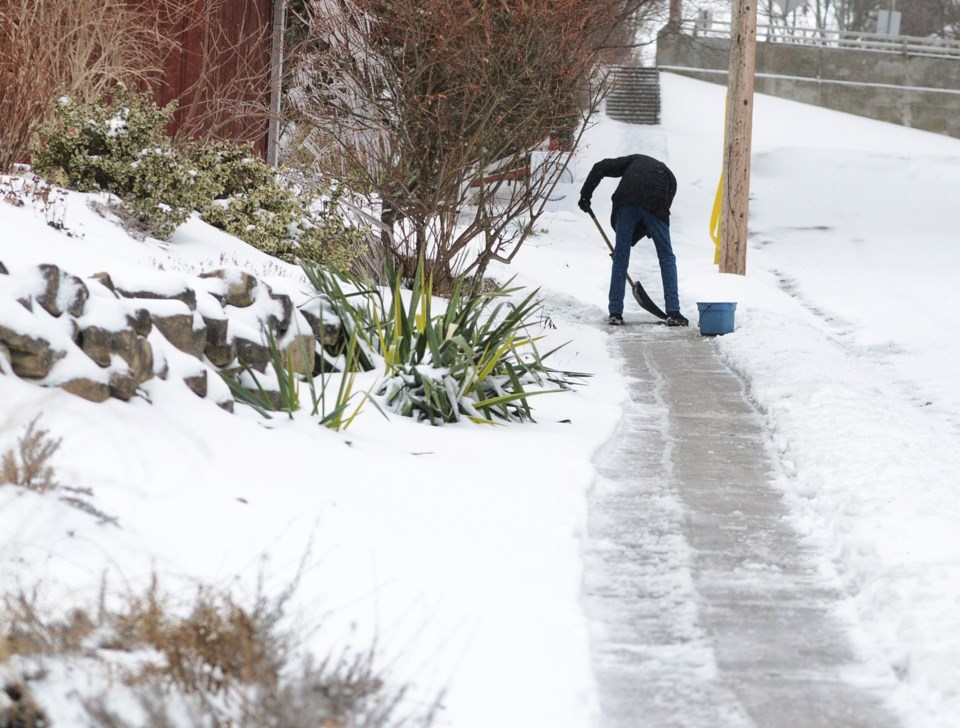
A wintry mix expected Sunday.
A strengthening low pressure system is expected to bring a messy mix of weather to the area beginning early Sunday morning.
Some areas could see several hours of freezing rain or ice pellets before transitioning to light snow or freezing drizzle Sunday afternoon. Light snow is then expected to continue through Sunday night before tapering off Monday morning. Strong wind gusts up to 70 km/h and local blowing snow reducing visibilities are also possible.
There remains some uncertainty as to the track of the low; however, there is the potential that some areas could see total snowfall amounts of 5 to 10 cm by Monday morning.
Please continue to monitor alerts and forecasts issued by Environment Canada. To report severe weather, send an email to [email protected] or tweet reports using #ONStorm.
************************